Applications for industries

Dynland can benefit your company at every stage of the value chain – by obtaining and analysing data, providing integrated platforms for users, or applying recommendations in real life. Our software solutions have been used for:

  • Classification of multi- and hyper-spectral EO imagery for EO data providers.
  • Forestry management. Species classification and stand stratification.
  • Wetland analysis for peat extraction companies (peat societies), governmental
    institutions responsible for maintaining and monitoring wetlands.
  • Smart Farming for distinguishing the reasons of low vegetation – the lack of
    nutrients in the soil (thus apply fertilizer) or land specifics – wind, soil moisture
    and type (thus don’t apply fertilizer because there is no potential).

How Dynland software interprets images

1

Dynland can be applied to images of different resolutions, scenes, and spectral bands; it can analyse Synthetic Aperture Radar data, digital elevation, canopy height model data, etc.

2

The algorithm forms clusters, similar to those humans would distinguish, without the need for training. It uses a self-organising network that adapts to and learns from data. In this sense, it is true AI.

3

Dynland executes rule-based assignment of classes to clusters using indexes or any reference data, even imprecise or old data. The number and type of classes is determined by the user.

4

The iterative nature of the algorithm allows the user to select any class and any detail within that class. In the sample image below the dominant class from the circular graph – coniferous forest (49%) – is split into subclasses.

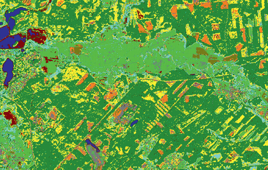
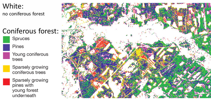
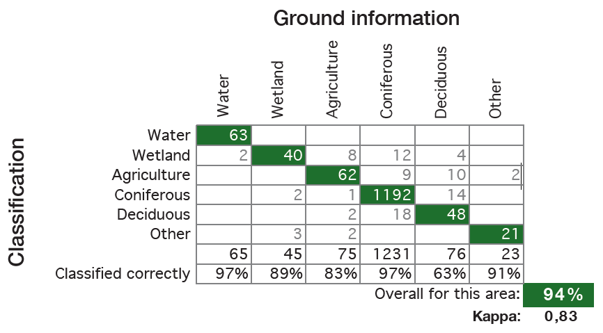
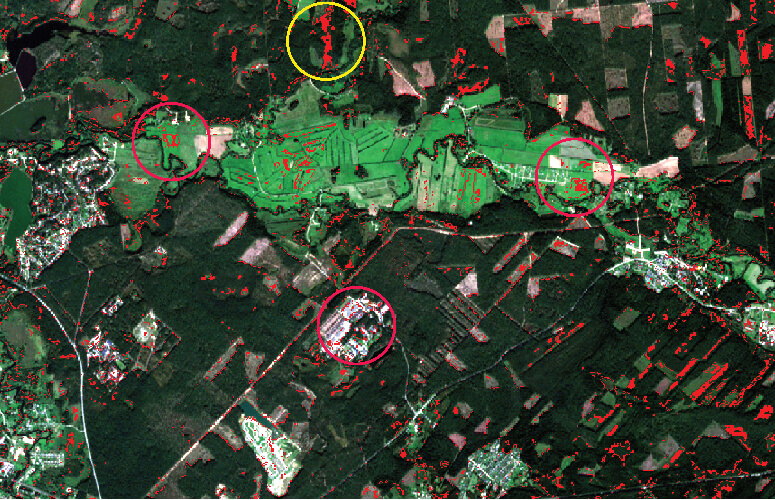
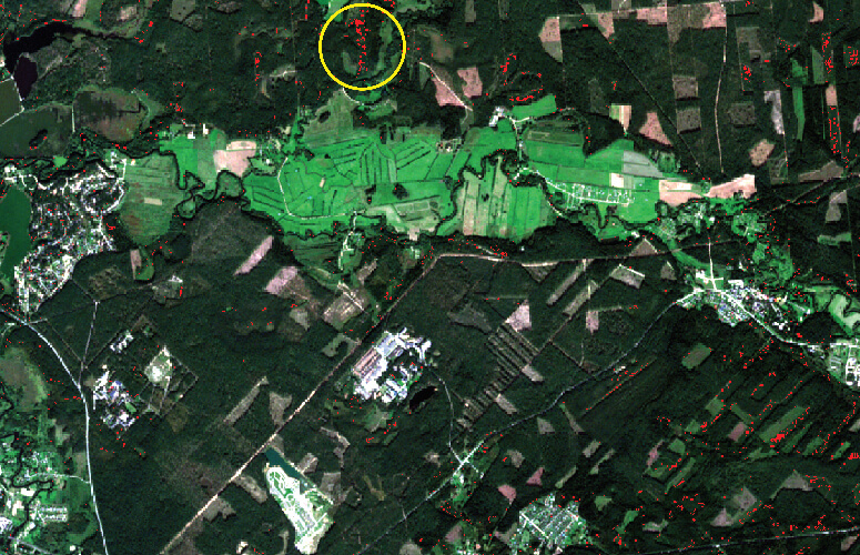
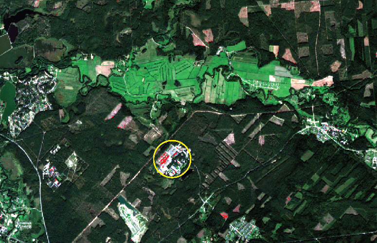
Clusters are organised into a multi-layer network that allows users to regroup and assign classes (e.g. combine birch and oak forests into a single group for deciduous trees).

Each set of classes can be chosen according to the needs of the project at hand.

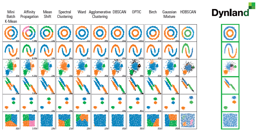
This technology will help you automate customised project flows.


Validation

The Latvian State Forest Research Institute «Silava» (www.silava.lv) performed an independent evaluation of the classification results on the previous page. This classification was accomplished based solely on images analysed by Dynland software.


Head-to-head comparison with the other algorithms

When processing synthetic data with various distributions Dynland is the only software solution that clusters all data meaningfully, regardless of distribution patterns.

ArcGIS IsoClust

The ArcGIS algorithm confuses logged forest and arable land even when the image is divided into 200 clusters

Dynland differentiates easily between logged forest and arable land

SAGA ISODATA

SAGA ISODATA confuses forest with city buildings and various meadow greens even when the image is divided into 200 clusters

Dynland differentiates easily between forest and meadow greens

K-means

The K-means algorithm confuses buildings with forest even when the image is divided into 200 clusters

Dynland differentiates easily between buildings and forest